Trail Report: Rae Lakes July 2021
January 7, 2022 • 4 minute read
The following piece will be edited from a collection of journal entries I wrote during my second time out on the Rae Lakes Loop trail in 2021.
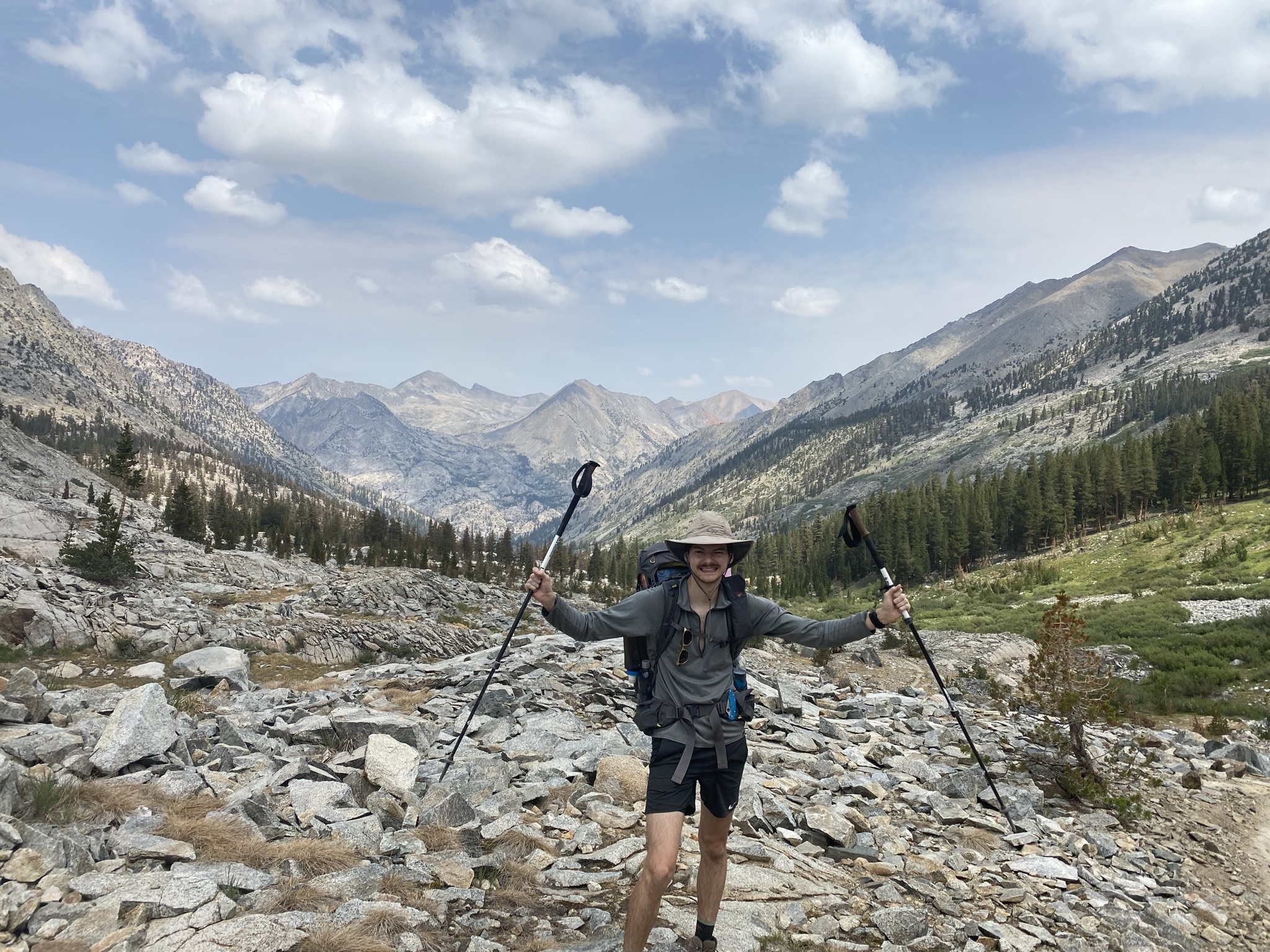
We started from “Road’s End” (left side of map), and completed the route counter clockwise. The total loop is around 52 miles.

Zero Day
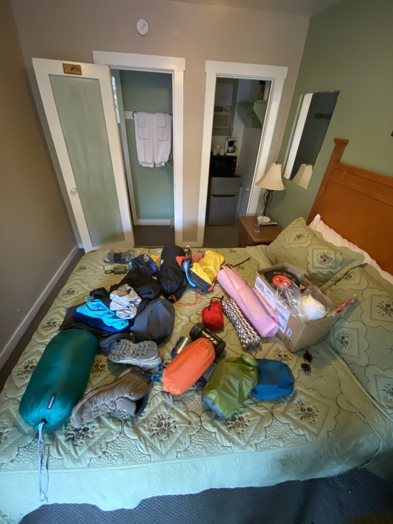
After driving 4 hours, we were pretty beat, fortunately Gena’s has a diner attached. It’s another hour drive into the park, so waking up early is necessary.
Day 1 - 10.3 mi +3625'
We climbed up from Road’s End, past the killer switchbacks, ascending higher along Bubb’s Creek
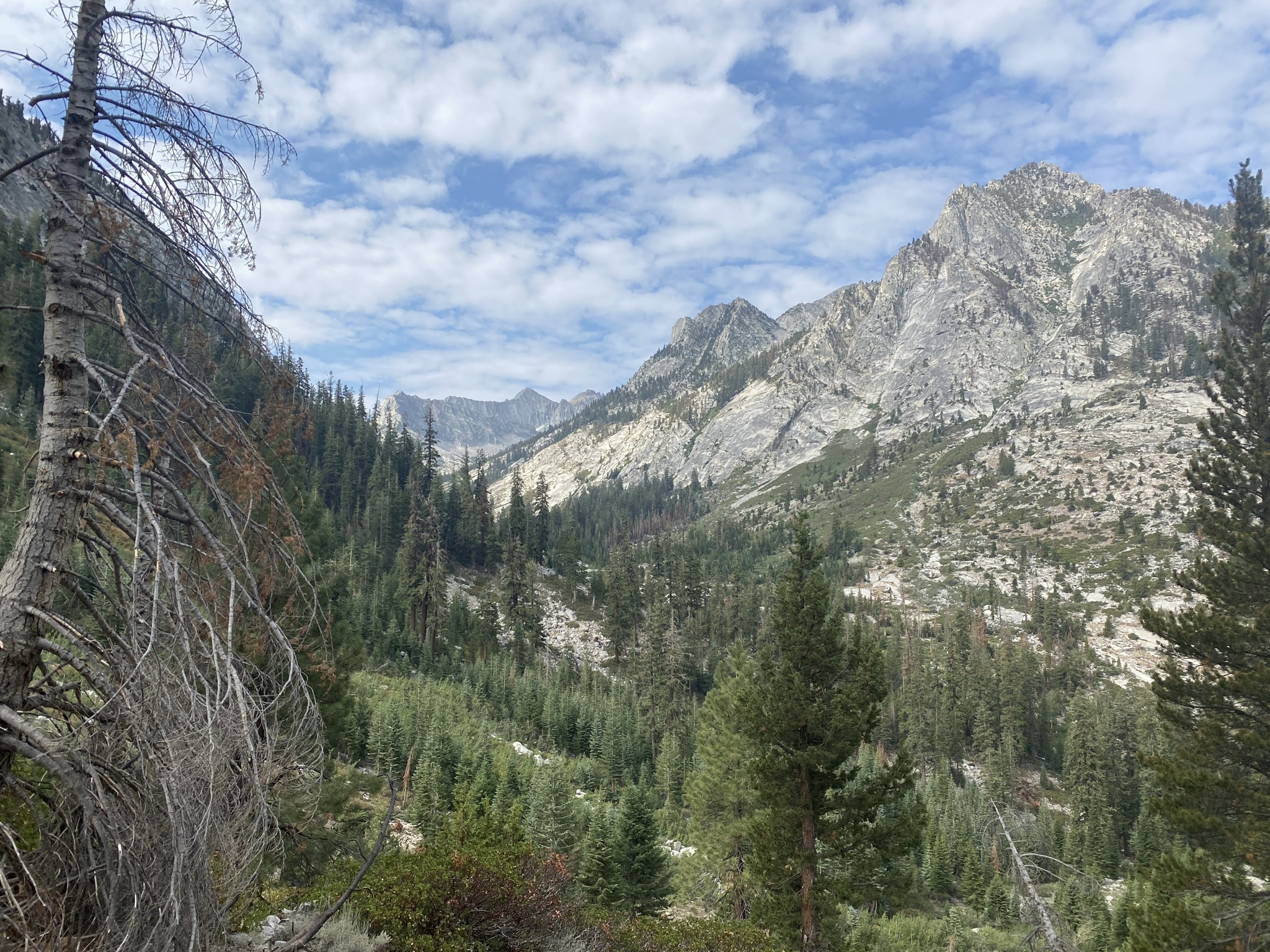
I pitched camp quickly, grabbed some food, filled some water for the morning. The hardest day was tomorrow.
Day 2 - 9.6 mi +4426’ -2206'
The next day we packed up, and started climbing further. We needed to get up and over Glen Pass, which is the highest point in our trip at 12,000 ft.
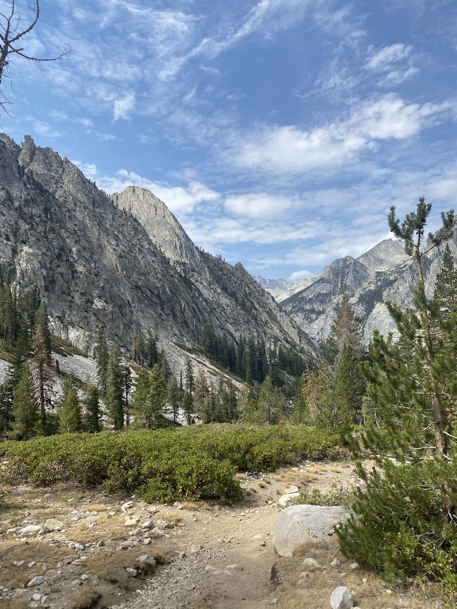 Hitting the trail, climbing out of Junction Meadow
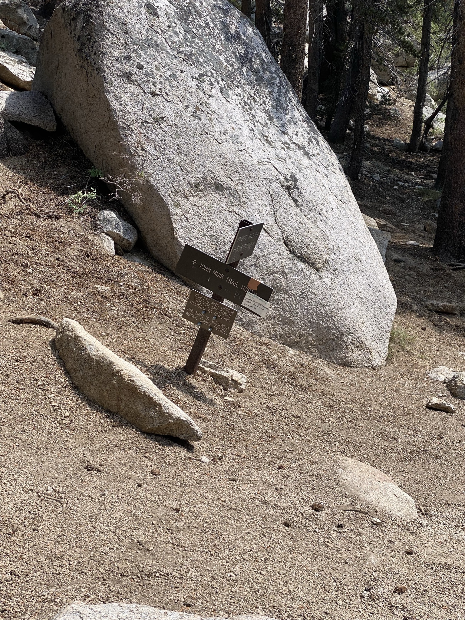 Forking off onto the John Muir Trail / Pacific Crest Trail
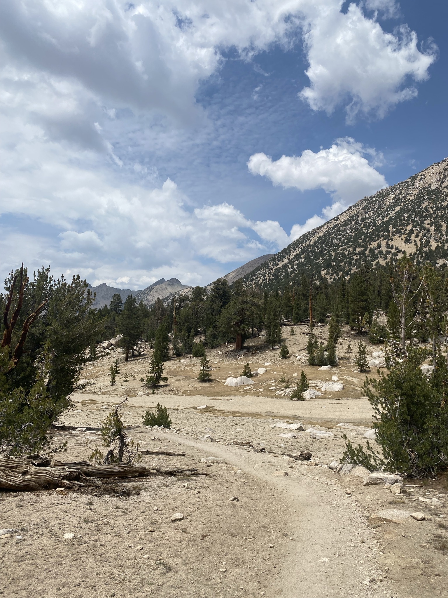 Dry lakebed near Charlotte Lake
 More climbing, overlooking Charlotte Lake
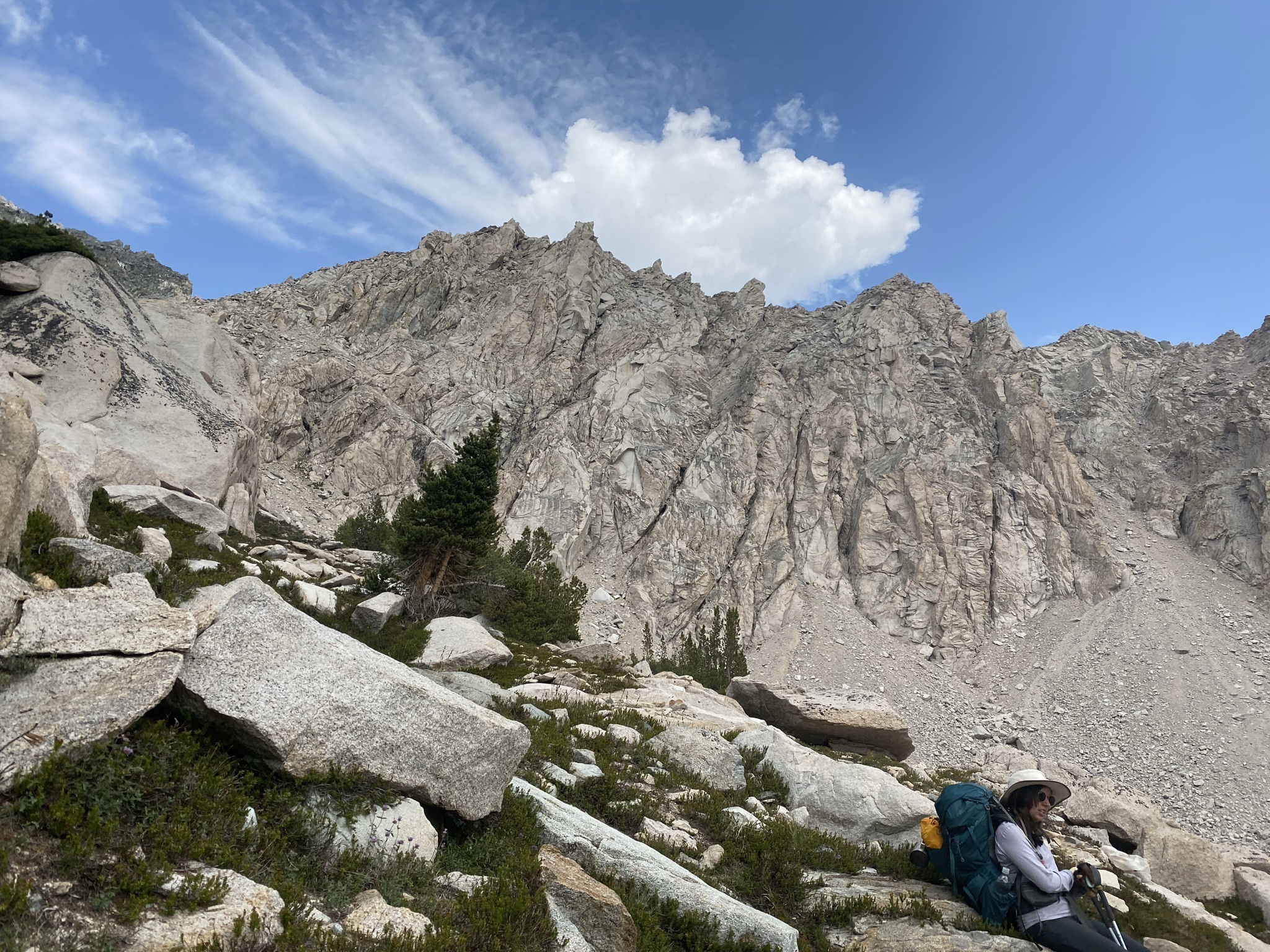 Getting above the timberline, very little ground cover
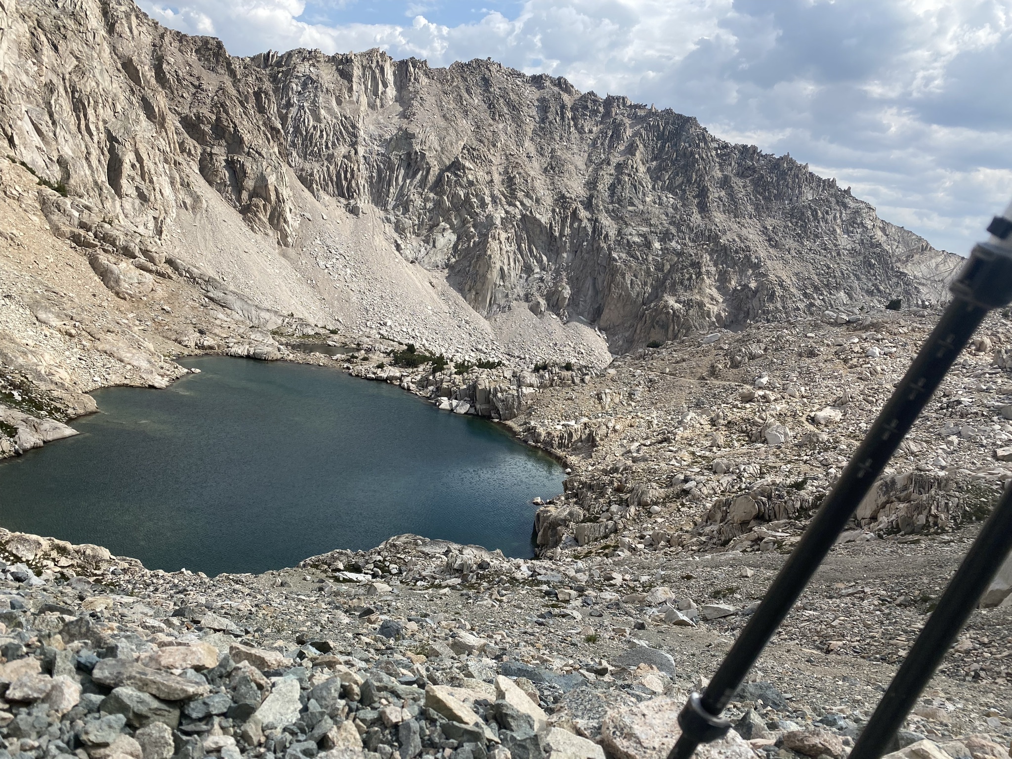 Overlooking a high Sierra lake just before Glenn pass
After reaching the pass, I broke from the group and jogged the 2 mi down to camp.
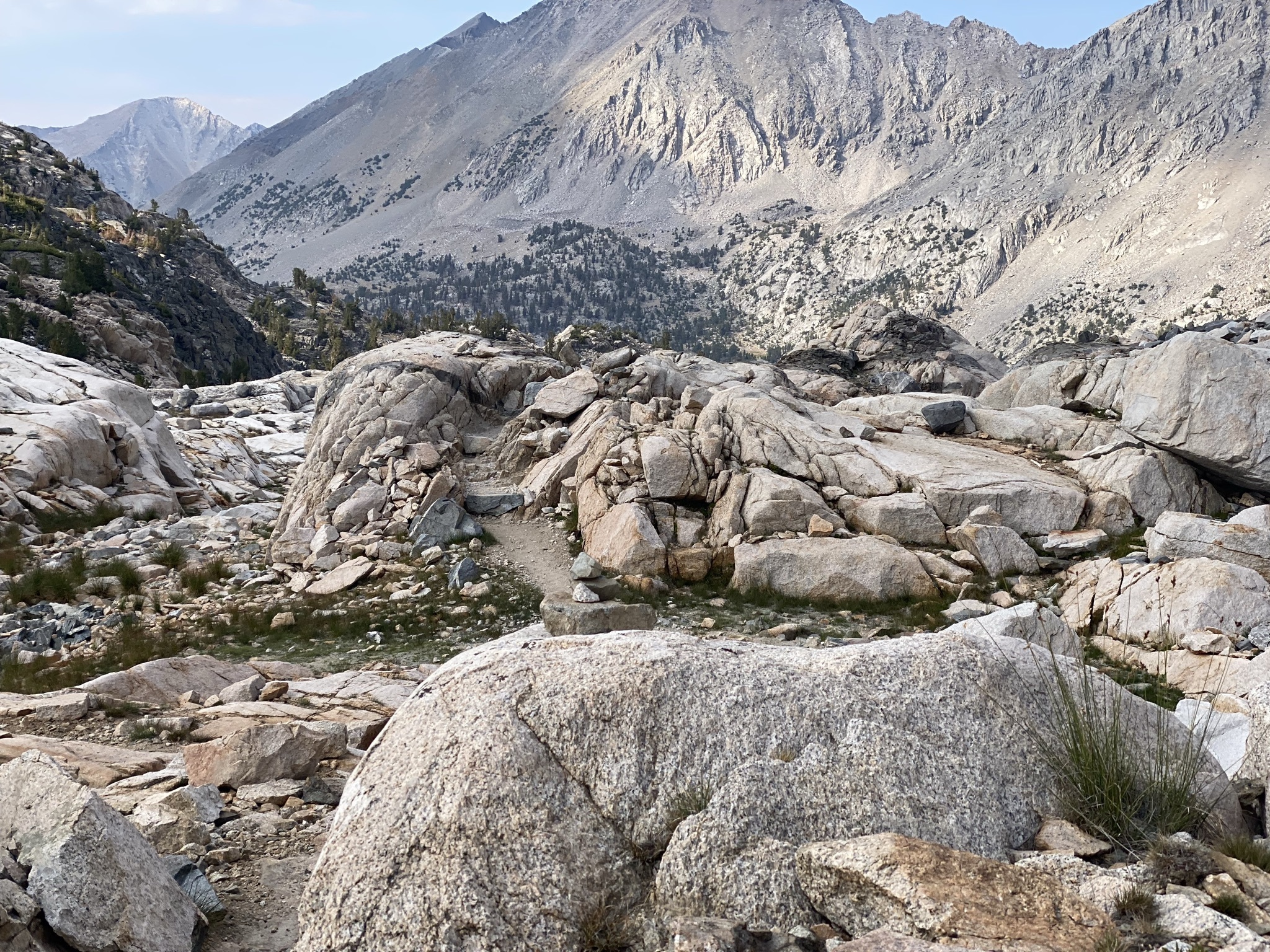 Losing altitude fast! Descending into Rae Lakes
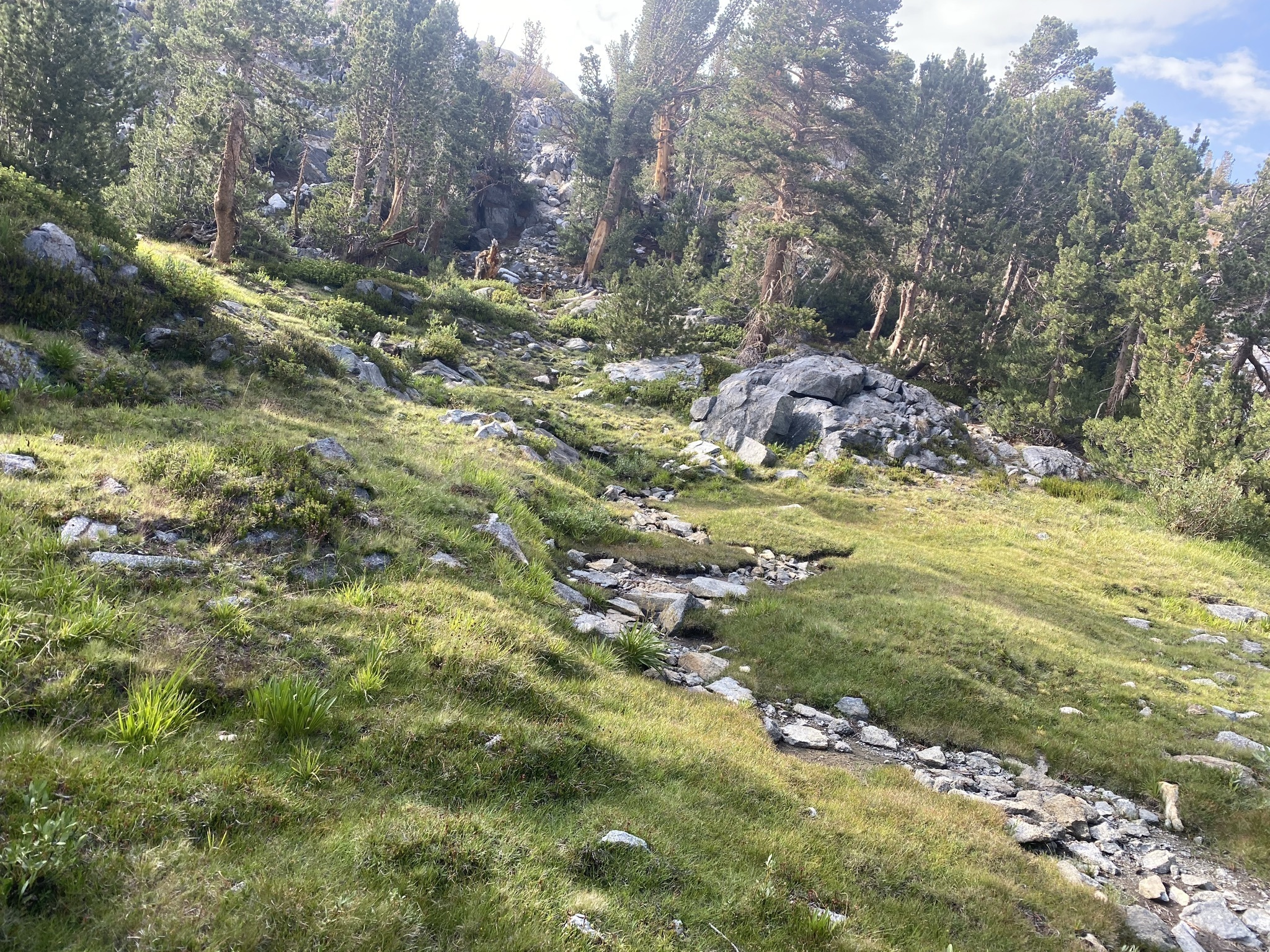 A section above Rae that looks absolutely unreal!
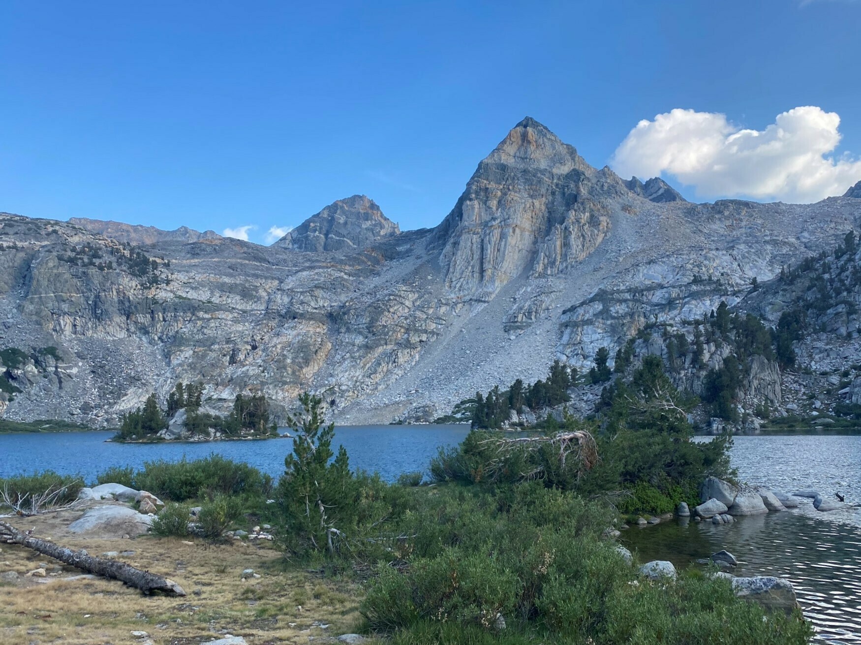 Crossing from Upper Rae to Middle Rae Lake
I got into the campsite, surrounded by breathtaking views. I found a nice boulder to pitch my tent near, setup camp and got some food.
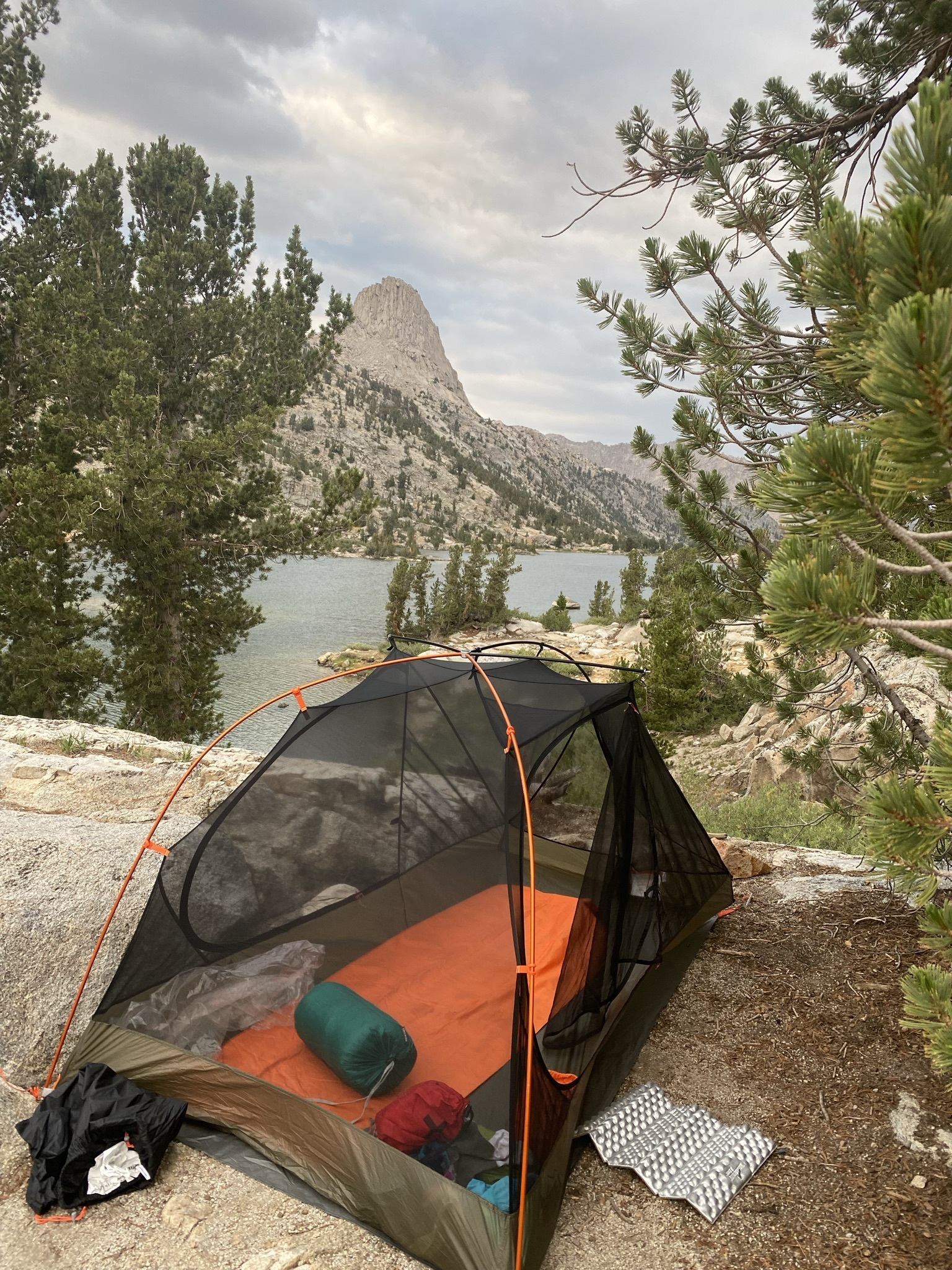 Tent overlooking Finn Dome
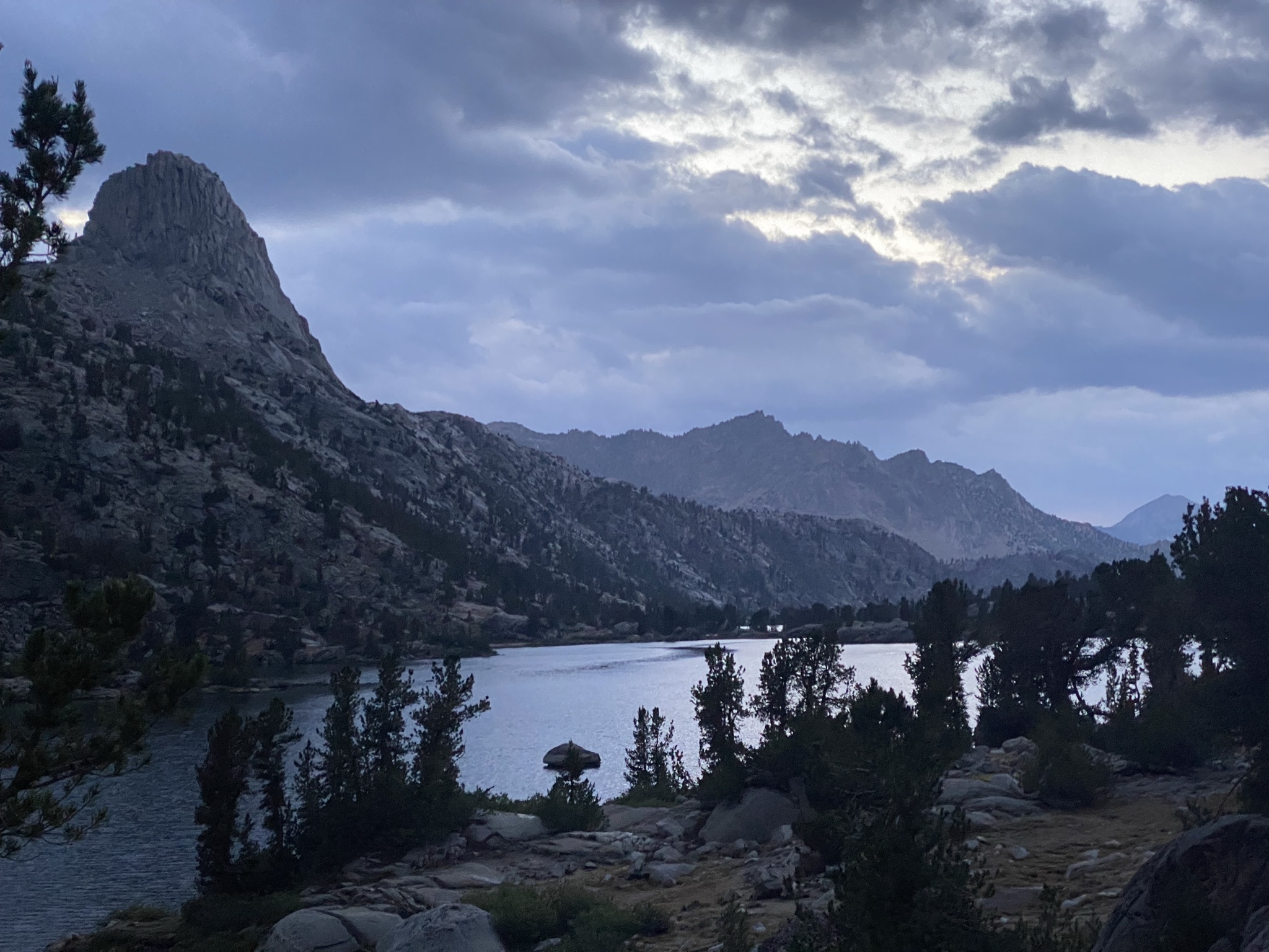 Cloud cover and light rain moved in an hour later. We got some overnight rain too.
Day 3 - 13 mi -4235'
Waking up, I was treated to an amazing view. Rae Lakes before the sun had broken over the side of the high valley. I filtered some more water from the lake, made some miso soup and had breakfast.
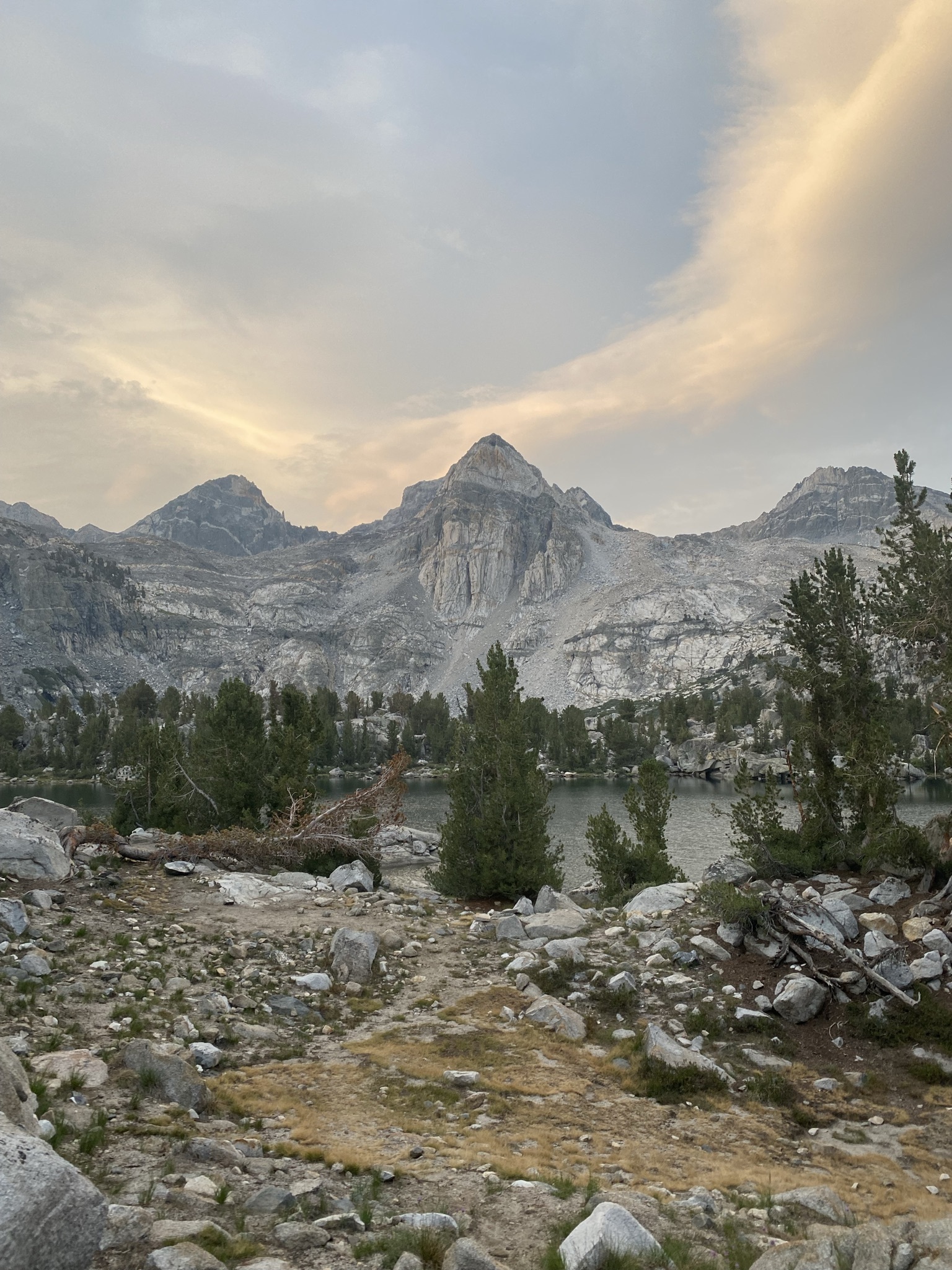 Beautiful view of the Painted Lady, across the Middle Lake
I tried my hand at becoming a nature photographer. There’s a lot of wild deer who are extremely curious why we’re so far up in the mountains.
A little tent tour!
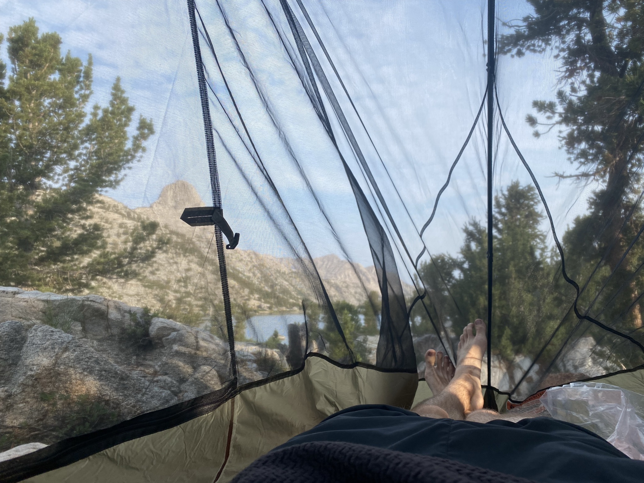 Hanging out and relaxing after breakfast
 The sun finally hitting Finn Dome
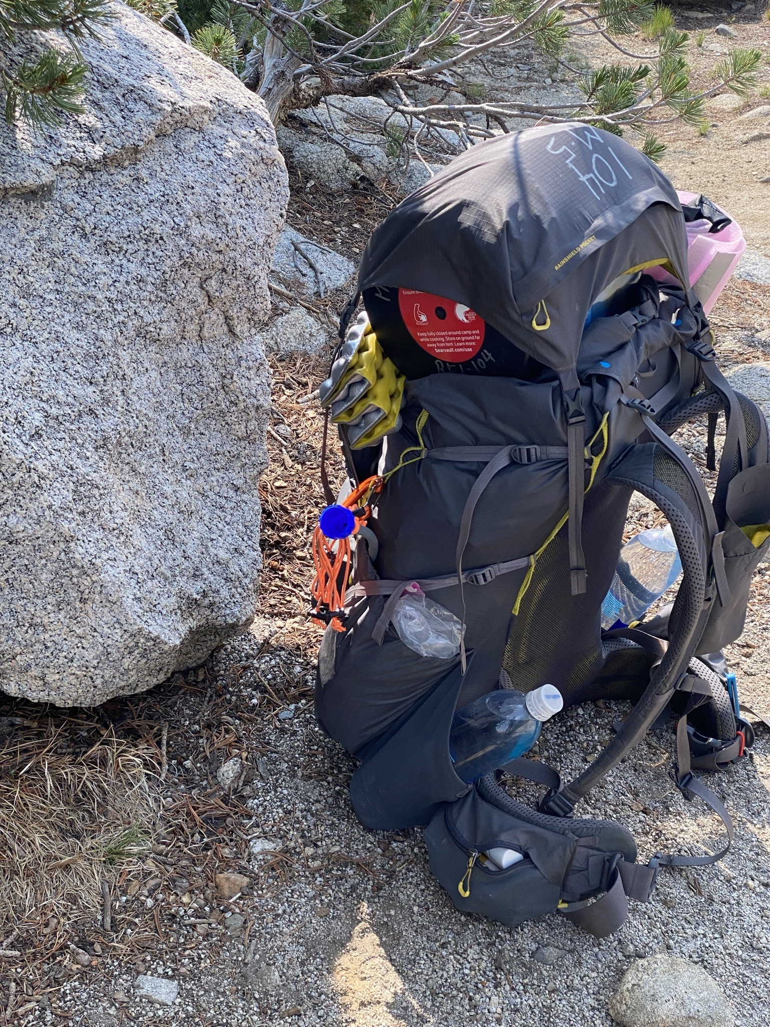 My pack fully loaded up and ready to go!
We packed up and headed out, and started hiking down to Wood’s Creek Crossing. We got some lunch just after the JMT forks again to continue north.
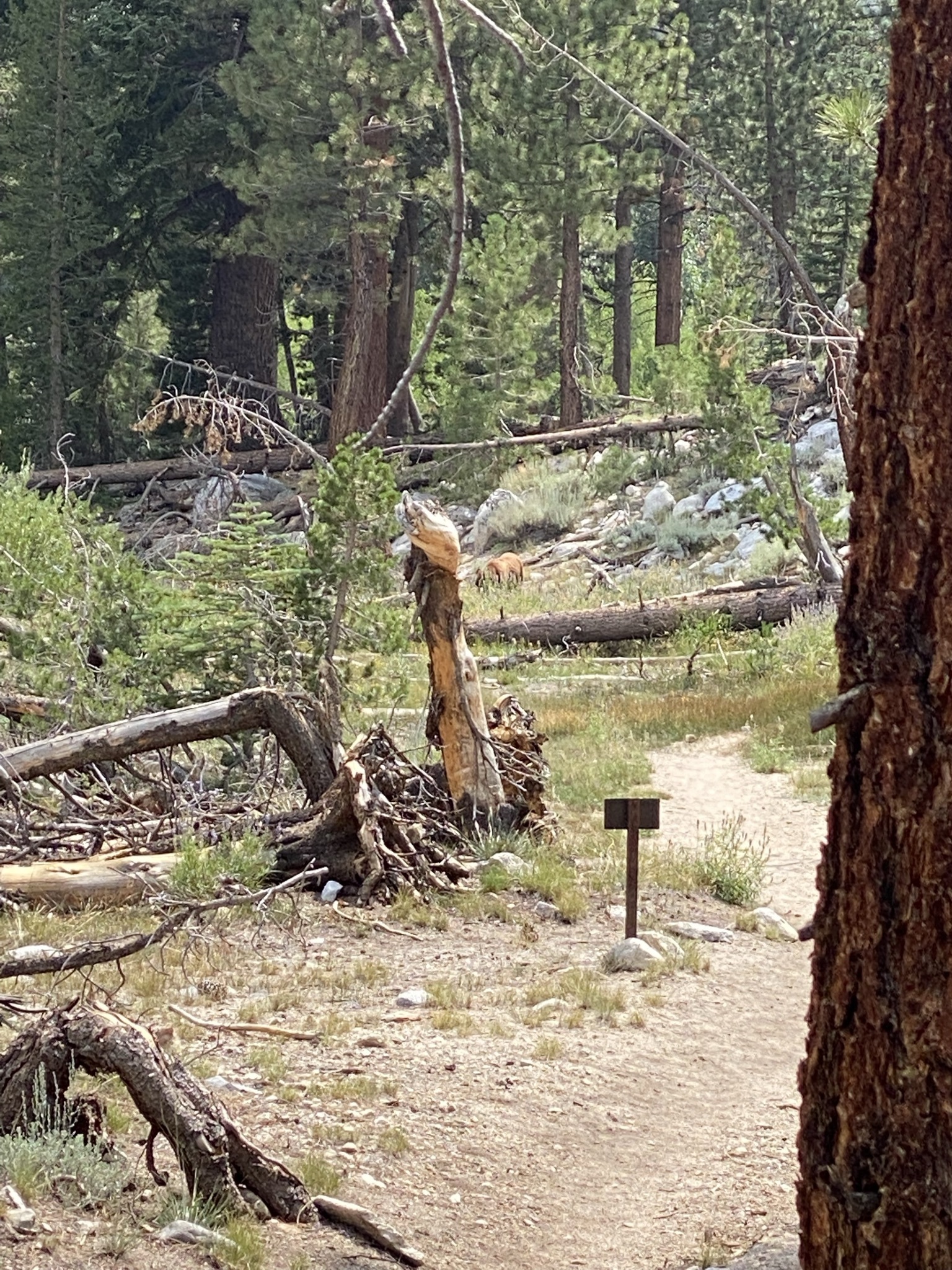 Bear!
Bear!
 Wood’s Creek
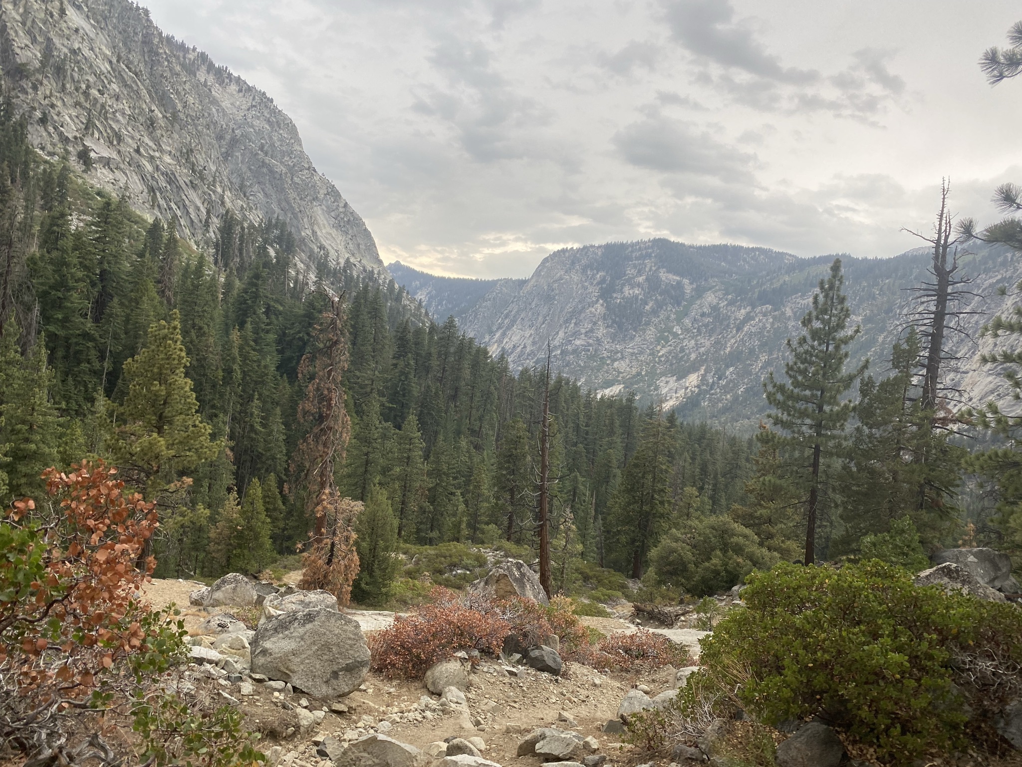 Getting into the Upper Paradise Meadow
We had originally planned to break the trip into an extra day, staying at Wood’s Creek. We decided to push through to Upper Paradise and exit the next day. However, we got an unexpected thunderstorm chasing us down the valley.
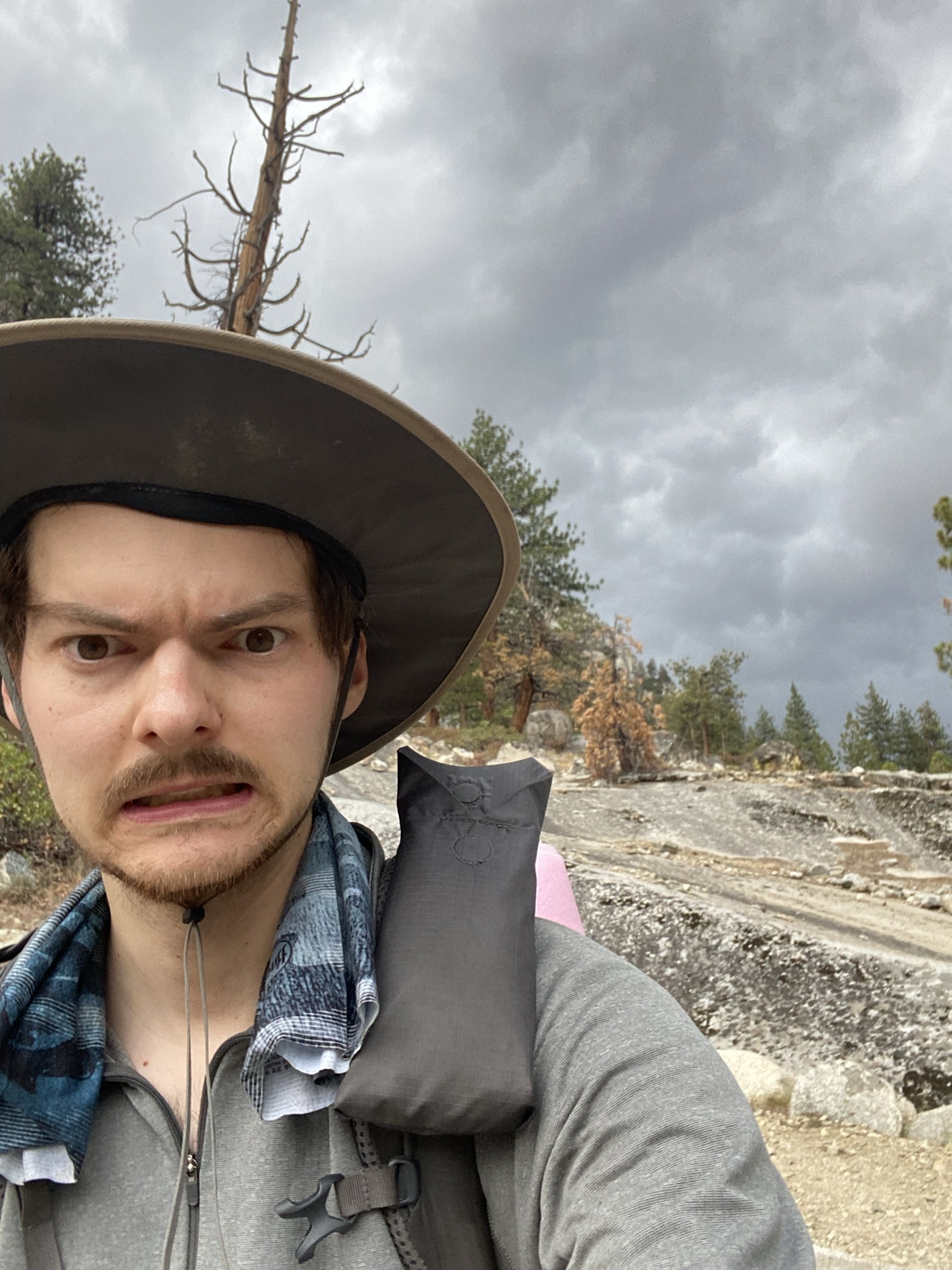 Uh Oh
Uh Oh
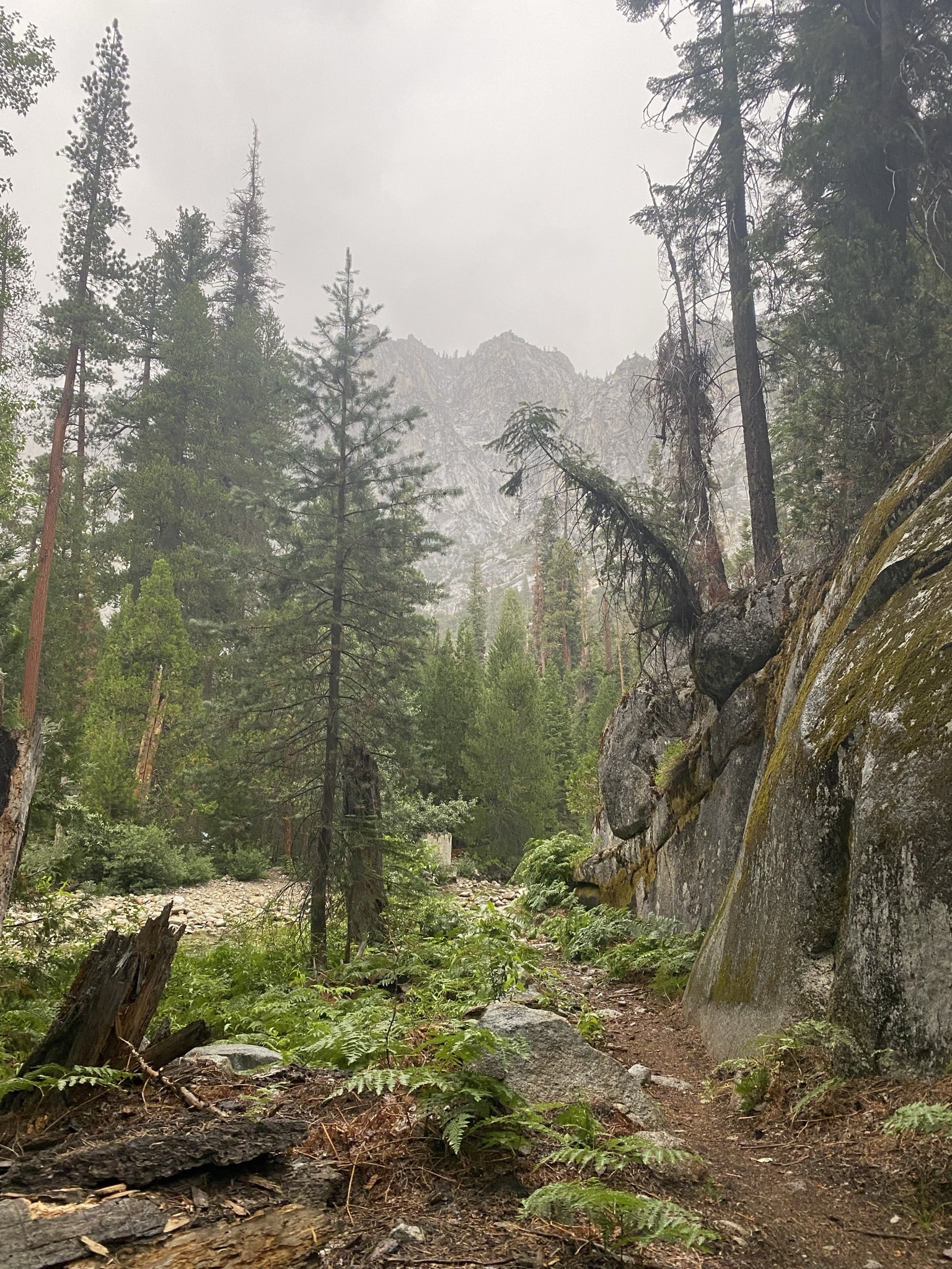 Beautiful misting rain in the high Sierra
I heard a couple of thunder cracks echoing around the valley as I rushed to camp. I botched a stream crossing and soaked my shoes, but I was able to get tent pitched in a relatively dry spot. Since I had sent it down the mountain, my friends got in around 45 minutes after me and I could help them navigate the stream. In hindsight, I definitely should have put on my Chaco’s, clipped my boots to my pack and just walked across in the shin deep water.
Day 4 - 12 mi -2634'
Exit day! I didn’t write a journal for this one since I was sound asleep in my bed the same night.
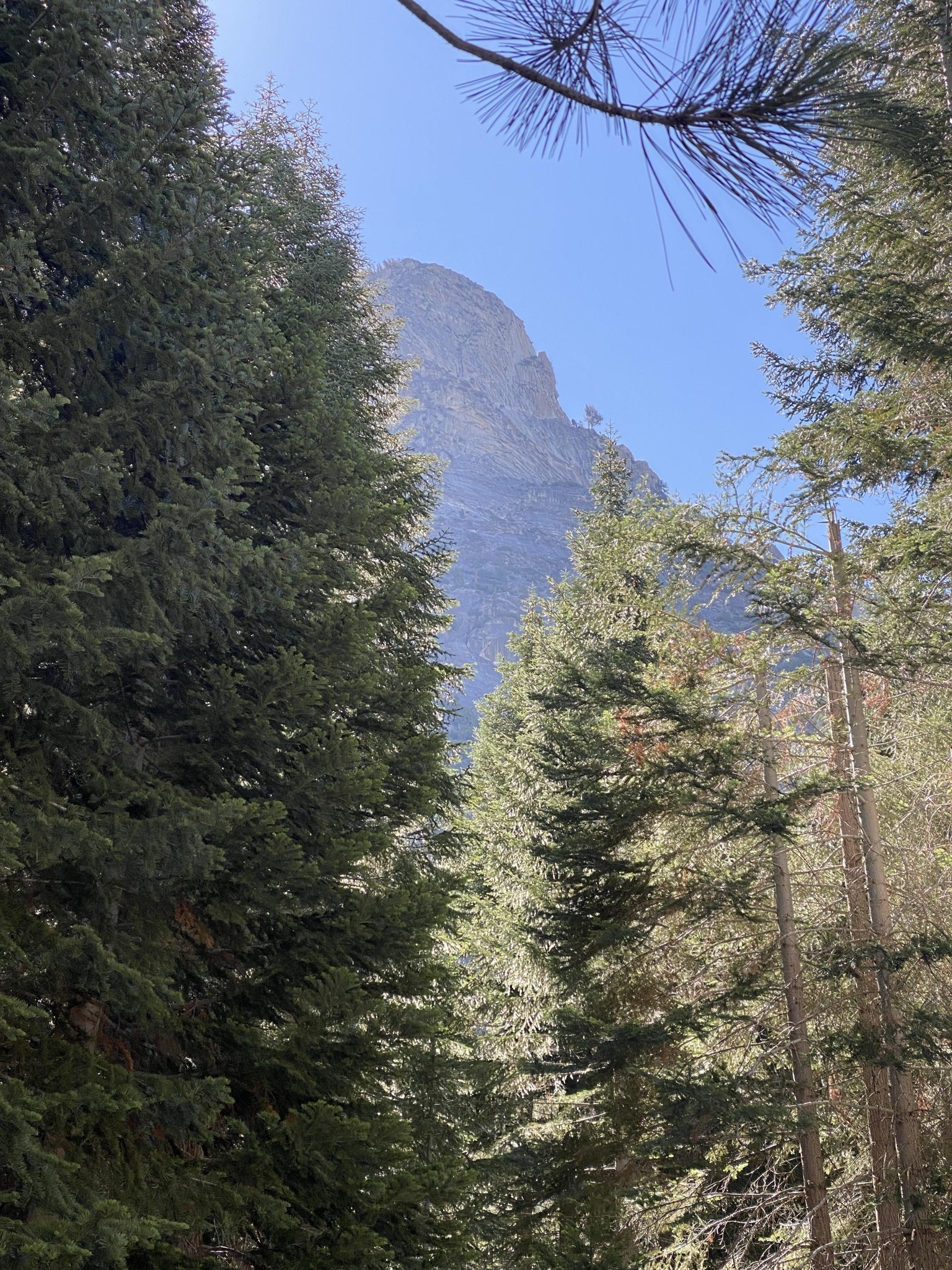 Finally some sun!
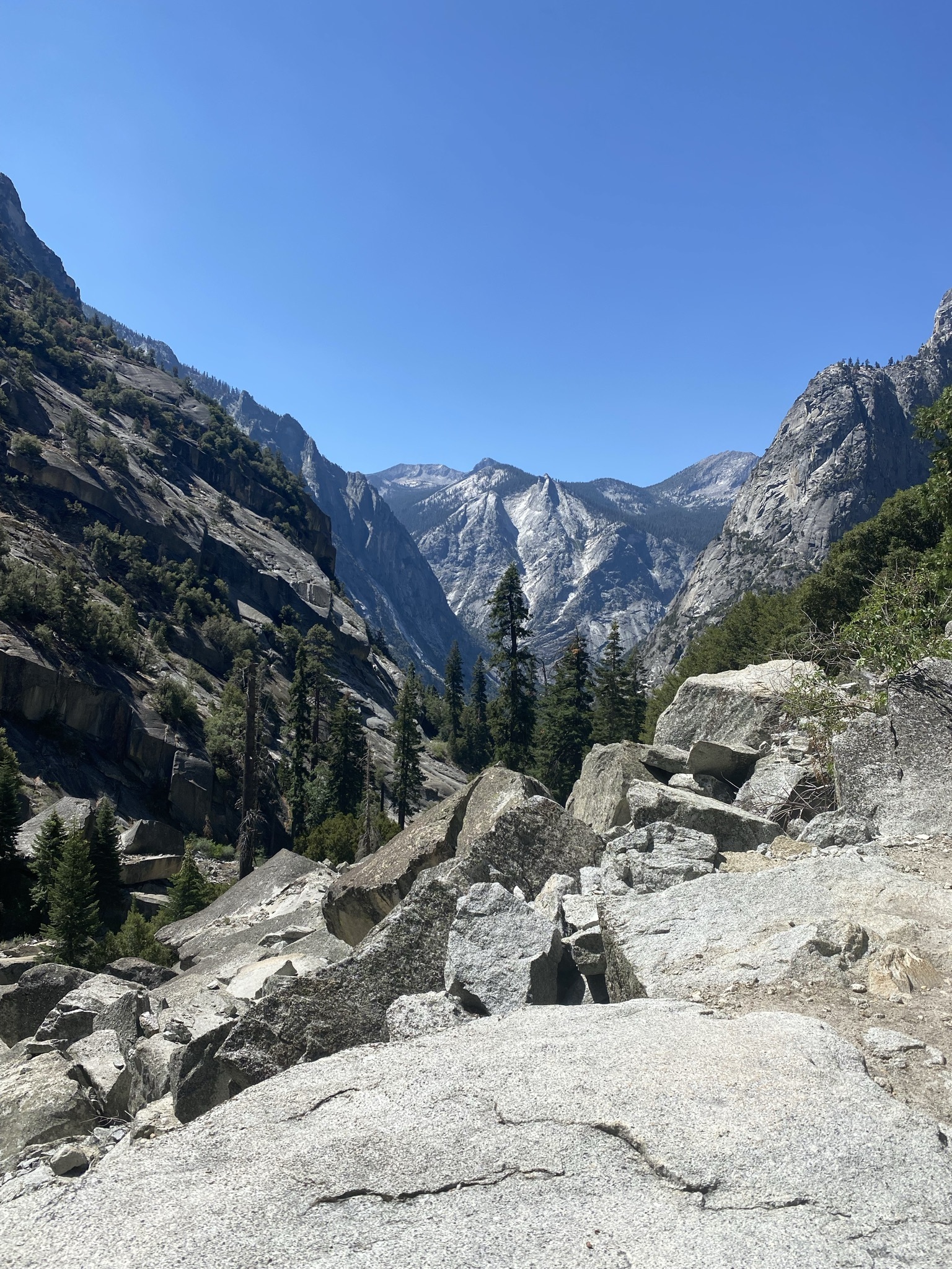 Now we’re flying down the valley
 We hit the top of Mist Falls in no time
After the rain, we were definitely ready to get home, I didn’t take many photos on the way down to Mist Falls. We encountered some day hikers taking a break at the falls. We stopped to get some last bit of water and get lunch. Perfect time to grab some more nature photography!
Mist falls was very nice! Super relaxing and well needed before we pushed through to the car. The last couple of miles were extremely easy, especially at lower altitude. We drove back through Fresno, got some in-n-out, and drove back to the Bay Area.
Thanks for reading!
∎
⧠